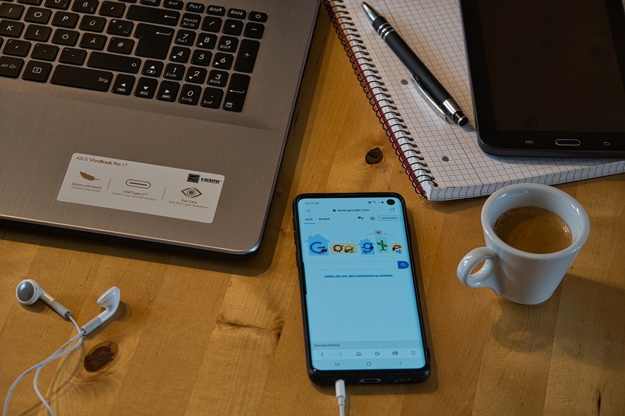
Google and Apple announced last week that they’re teaming up to modernize contact tracing in the age of COVID-19. The joint press release said they’re working on a “comprehensive solution that includes application programming interfaces (APIs) and operating system-level technology to assist in enabling contact tracing.” Basically, they’re working on an app.
Google and Apple’s vision is that starting in May, users will be able to download a “digital contact tracing” app. The app will track users’ location and also communicate with nearby phones. If, one day, a user tests positive for COVID-19, the app would be able to ping everyone the user came in contact with in the past 14 days. Eventually, Apple and Google hope the app won’t even be an app—it’ll just be something built into our phones.
This new collaboration is just the tip of the data tracking iceberg. Big data has been tracking our locations for a long time, and there are already a number of public- and private-sector projects aimed at pressing all that surveillance into the fight against COVID-19. More importantly, the data collection looks set to increase in the coming months and days.
Data tracking and COVID-19
We’ve talked about this before, but the United States government has been relying heavily on mobile data collected in the private sector to inform their decisions about how to reduce the spread of COVID-19. And when the American Enterprise Institute released guidelines last week for reopening the economy, surveillance was a big part of their plan to help the United States recover.
To most Americans, the likely further erosion of privacy isn’t such welcome news. A majority of Americans surveyed since the start of the outbreak say they don’t want their data used for fighting COVID-19.
Despite this resistance, big data has proven to be an immensely useful tool during the pandemic.
When the World Bank announced a $14 billion emergency support program, a pretty big part of that package involved helping countries strengthen their own surveillance programs to stop the spread.
Many countries seem open to working with private sector companies like Facebook and Mapbox to do just that. In fact, Development Data Partnership just released an argument for how they could use big data to help governments get hospital beds and tests where they’re needed most. They say their team is already “working tirelessly to leverage big data to support our colleagues’ prevention, response, and recovery efforts.”
The companies using our data right now
Speaking of which, Google has launched a new website. They’re calling it COVID-19 Community Mobility Reports, and anyone in the world can use it to see how movement has changed worldwide—in 131 countries from Afghanistan to Zimbabwe—since the coronavirus pandemic began. The mobility reports can tell which regions are social distancing, whether people are leaving residential areas, and whether they’re going to the grocery store or to work.
As rationale for the new website and detailed reports, a statement from Google says, “We’ve heard from public health officials that the same type of aggregated, anonymized insights we use in products such as Google Maps could be helpful as they make critical decisions to combat COVID-19.”
The Mobility Reports display how much activity has changed over the course of several weeks, but also as recently as in the past two or three days. It’s possible to view data for all 131 countries, and you can even zoom in on some states and counties. According to their most recent report for the United States, retail and recreation is down by 47% and residential traffic is up by 12% compared to baselines. The Google data also shows that New York City has been less successful at social distancing than European countries like Italy and Spain.
Google isn’t the only company pitching in with tracking tools. Openpath, a security and controlled access startup, is using data from their building access logs to track activity by state. Openpath has launched a Social Distancing Index to show whether people have stopped entering churches, schools, and office buildings since stay-at-home orders were issued. Unacast has released a Social Distancing Scoreboard that uses human mobility data from cell phones to track and grade the United States’ social distancing efforts across counties and states. (At time of reporting, the United States had earned a B.)
The other internet giants are trying to get in the game, too. On Monday, Facebook announced that their Data for Good program is launching a new tool called Disease Prevention Maps. The maps are high resolution, and, according to Facebook, “designed to help public health organizations close gaps in understanding where people live, how people are moving, and the state of their cellular connectivity, in order to improve the effectiveness of health campaigns and epidemic response.”
How do they get this info?
Google, at least, has had it all along. So have Facebook, cell phone companies, and all other apps we give access to. What’s new is that we’re seeing it presented in this way, and referred to every day at White House press briefings.
But Google has been aggregating location data and making it public ever since they launched location tracking on Google Maps. The information they’re using now is the same location data they use to make the Popular Times graph that shows current traffic at restaurants, retail locations, and recreational areas and compares it to usual traffic peaks.
As for Facebook, given their previous privacy-related scandals, it’s perhaps unsurprising that they’re making most of their methods and data-gathering transparent for this new venture. Facebook says they collect location data through Location History, when users access Facebook from their mobile devices and leave Location History enabled. These are the same methods Facebook uses for Disaster Maps, which are released in crisis events, and involve adding noise, spatial smoothing, and dropping small counts for rural locations.
All the companies are quick to reassure Americans that the data is anonymous and cannot be used to identify precise locations. But many still feel squeamish about how locations are being aggregated, published, and shared right now.
Renewed privacy concerns
While 82% of Americans say they’d feel comfortable sharing a positive COVID-19 test result with their doctor, only 27% would feel comfortable sharing the same result with the federal government. Perhaps unsurprisingly, that number shrinks down to 21% who’d feel comfortable sharing a positive test with public apps like Google or Facebook that are currently sharing anonymized data. Just 9% would feel comfortable if we started sharing the names of the infected on public apps. That’s the most recent data from a survey conducted by the Oliver Wyman Forum, which asked 3,600 people in the United States, UK, Germany, Spain, Australia, and Singapore about data issues and COVID-19.
Still, most people were interested in getting information about the spread of COVID-19. Around the world, the majority of respondents said they’d want to know if someone in their neighborhood tested positive. Same goes for if someone at work or school tested positive. The interest makes sense. Since the virus is so contagious, it would be helpful to know if someone nearby had it. But at what cost?
The NHS in the United Kingdom, one of the world’s hot spots for COVID-19, does plan to track individuals’ data in this way. They’re planning to release a smartphone app that would trace the contacts of people with coronavirus symptoms, remind you to go inside if you’ve been out for too long, or notify you if you get too close to other people.
The United States has said nothing about an official, government sponsored app like this. But since most of our phones include Apple and Google software, use of their new app could be widespread in the United States.


You are reporting the comment """ by on